
7 Best Savanna Viewpoints in Sumba: Wairinding, Tanarara & Beyond
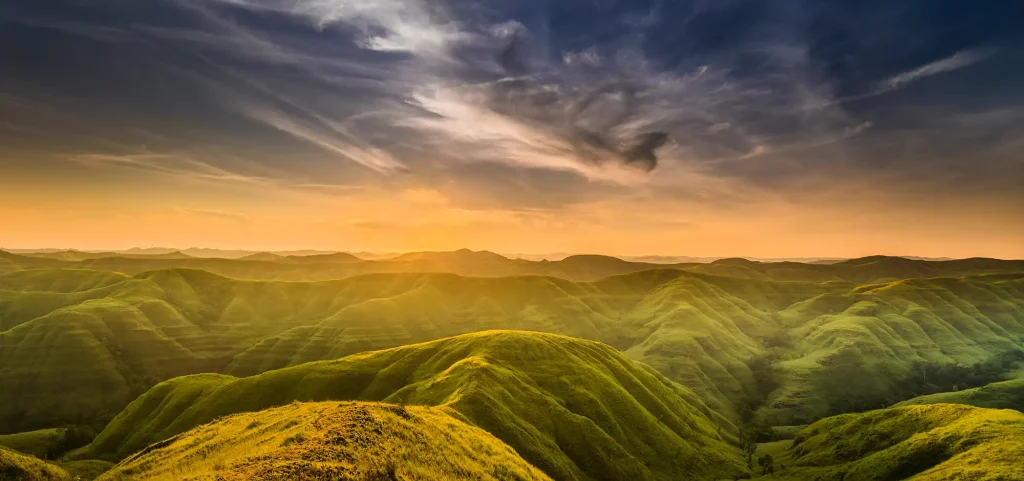
The best savanna viewpoints in Sumba are Bukit Wairinding, Bukit Tanarara, Savana Puru Kambera, Bukit Persaudaraan, Bukit Tenau, Bukit Lendongara, and the remote Mbinudita hills — most of them within day-trip range of Waingapu in East Sumba. This guide covers approximate coordinates, the best light, and how crowded each spot gets, plus something no selfie-focused blog tells you: which viewpoints are actually worth reaching on horseback.
Our team rides these hills year-round with Sandalwood ponies, the small, hardy horse breed native to Sumba, so we judge every viewpoint by a rider’s checklist as well as a photographer’s: approach route, footing, gradient, shade and water for the horses, and distance from a sensible saddling point. Coordinates below are approximate — confirm pins with a local guide, as map data in rural Sumba can drift.
1. Bukit Wairinding — the famous one
Location: off the Waingapu–Melolo road near Pambotanjara, roughly 30 minutes’ drive east of Waingapu. Approximate coordinates: 9.66°S, 120.20°E. You park at the base and walk five to ten minutes up the ridge.
The iconic photo: layered ridgelines stacking toward the horizon — emerald green in the wet months, burnt gold from roughly June to October. Local kids often appear with their own ponies, which tells you everything about how naturally horses belong in this frame.
Crowds: the busiest viewpoint on the island, especially from late afternoon to sunset. Come between 7 and 9 in the morning and you may share the ridge with nobody but the wind.
On horseback? Yes, and it is superb — the slopes are grassy with forgiving footing in the dry season. We avoid the sunset rush, though: crowds and motorbike engines can unsettle even a calm pony. There is no shade on the ridge itself, so we rest and water the horses at the base village. Wairinding is the classic opening act of a guided Sumba savanna horse riding tour, ridden mid-morning when the hills are empty.
2. Bukit Tanarara — red earth country
Location: about 60–90 minutes from Waingapu heading toward Melolo, then inland on a smaller road. Approximate coordinates: 9.77°S, 120.31°E. The name comes from the local words for red earth, and you will see why.
The iconic photo: a rust-red clay track snaking along the spine of a grassy ridge — one of the most distinctive images anywhere in Sumba, and far less photographed than Wairinding.
Crowds: light. Even at sunset you will usually count visitors on one hand.
On horseback? Yes, with a caveat. The red clay grips well when dry but turns slick after rain, so we treat Tanarara as a dry-season ride only. The drive is long enough that we transport the horses to a nearby village and ride the final stretch, which keeps them fresh for the climb.
3. Savana Puru Kambera — where the wild horses graze
Location: around 45 minutes northeast of Waingapu on the coastal road. Approximate coordinates: 9.52°S, 120.44°E. This is not a hill but a sweeping coastal savanna running down to the sea.
The iconic photo: free-roaming Sandalwood ponies grazing on open grassland with the blue strait behind them — the single most Sumba image there is.
Crowds: moderate. Many visitors stop briefly on drive-throughs; weekends bring local picnickers.
On horseback? This is the finest pure riding terrain of all seven spots: flat, open ground made for long, easy canters, with casuarina stands offering real shade for a midday halt. One rule we never break: keep a respectful distance from the free-roaming herds. If you only ride one savanna in Sumba, ride this one.
4. Bukit Persaudaraan — sunrise close to town
Location: on the Mauhau side of Waingapu, only 15–20 minutes from the town centre. Approximate coordinates: 9.63°S, 120.28°E.
The iconic photo: sunrise mist lifting off the valley floor, with paddies and savanna folding toward the coast.
Crowds: moderate — this is a local favourite for morning exercise and student outings, but early weekdays are calm.
On horseback? Yes, and its closeness to town makes it the natural anchor for short rides before the heat builds. The approach lane carries motorbike traffic later in the day, so we ride at first light. It slots neatly into our horse riding day tours from Waingapu for travellers on a tight itinerary.
5. Bukit Tenau — the quiet panorama
Location: roughly 30 minutes southwest of Waingapu. Approximate coordinates: 9.70°S, 120.23°E.
The iconic photo: folded hills and a winding river valley curving away in an S-shape — glorious in golden-hour side light.
Crowds: quiet. Tenau sees a fraction of Wairinding’s visitors despite a comparable view.
On horseback? Mostly. The lower slopes ride beautifully, but the final pitch has loose gravel, so we dismount and lead the horses the last hundred metres — a small price for having a summit like this to yourselves.
6. Bukit Lendongara — Southwest Sumba’s grass domes
Location: in the Kodi area of Southwest Sumba, about 30–40 minutes from Tambolaka airport. Approximate coordinates: 9.53°S, 118.97°E.
The iconic photo: smooth, rounded grass domes rolling toward a distant band of ocean, at their best in late-afternoon light.
Crowds: moderate at sunset, near-empty the rest of the day.
On horseback? Ideal for beginners — the gradients are low and rounded, and the steady coastal breeze keeps horses cool and relaxed. Lendongara pairs naturally with a swim stop on our Weekuri Lagoon riding route, since the lagoon and Mandorak Beach sit in the same corner of the island.
7. Mbinudita hills — the empty east
Location: inland East Sumba, around an hour from Waingapu. Map pins for this area are unreliable, so go with a guide rather than trusting navigation apps.
The iconic photo: a near-360-degree sweep of savanna with village rooftops far below and not a tour bus in sight.
Crowds: the emptiest viewpoint on this list. You will likely meet only farmers and their livestock.
On horseback? Yes, but treat it as expedition country: no facilities, no warungs, so we carry water for horses and riders alike. We pass this backcountry on the multi-day coast-to-coast Sumba horse expedition, and riders consistently name it the most memorable stretch — precisely because nobody else is there.
Frequently Asked Questions
Can you actually ride horses at these viewpoints?
At most of them, yes. The savanna and village lands around Wairinding, Puru Kambera, Persaudaraan, Tanarara, and Lendongara can be ridden with local permission, which our guides arrange as part of every tour. A few summit sections (like the top of Tenau) are safer led on foot, and we always follow the advice of the landowning families.
When do the hills look green versus gold?
Broadly, the rains from around December to March turn the savanna vivid green, while the long dry season from about June to October brings the famous golden tones. Both are spectacular on camera; the shoulder months in between can give you a mix of the two.
Do I need riding experience for a savanna tour?
No. Sandalwood ponies are compact, sure-footed, and known for their calm, easygoing temperament, which makes them well suited to first-time riders. We match horse to rider, start with a short handling briefing, and keep beginner routes to gentle terrain such as Puru Kambera and Lendongara.
How do I reach the viewpoints if I’m not driving myself?
Most sit within an hour of Waingapu, so a driver-and-car day arrangement is the usual solution — or simply join a riding tour where all transfers are included. Our guide on how to get to Sumba covers flights into Waingapu and Tambolaka and what ground transport looks like once you land.
How much does a savanna riding tour cost?
Rates are quoted on request and depend on route, group size, and season; day rides and multi-day expeditions are priced per rider with transfers and guiding included. Expect small entrance or parking donations at some viewpoints, collected by the local families who care for the land — indicative amounts only, payable in cash on the day.
Ride the savanna with us
Short on time in Waingapu? Combine Persaudaraan at sunrise, Puru Kambera at midday, and Wairinding the next morning. Flying into Tambolaka? Lendongara and the Kodi coast make a perfect southwest loop, while photographers chasing empty frames should head straight for Tanarara and Mbinudita. For green-versus-gold seasonal timing, see our guide to the best time to visit Sumba.
Sumba Horse operates within the Juara Holding Group tourism ecosystem, with local guides, well-conditioned Sandalwood ponies, and routes refined across every viewpoint in this guide. Tell us your dates, your riding level, and which of these seven landscapes is calling you, and we will build the itinerary around it.
Message us on WhatsApp at wa.me/6281139414563 or email [email protected] — we typically reply within a few hours with a route suggestion and availability.
Keep Reading
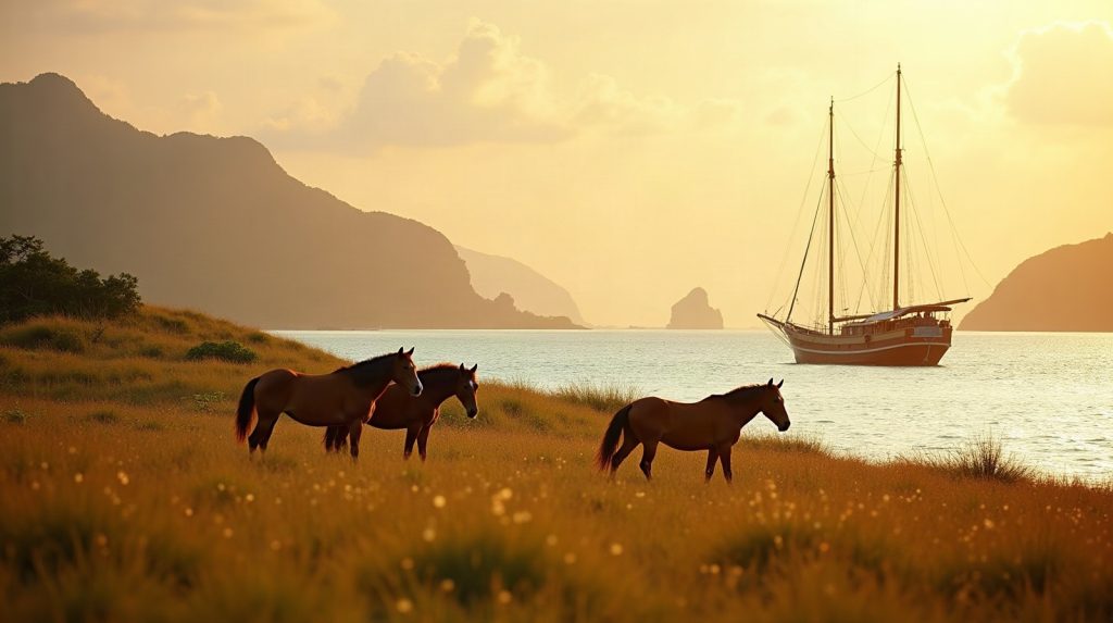
Best Luxury Cruise Indonesia After Sumba: 2026 Guide
After a week among Sumba’s sandalwood horses, megalith villages and waterfall pools, the natural next leg is the sea. The best luxury cruise in Indonesia for…
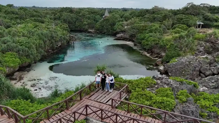
Weekuri Lagoon Sumba 2027: A Kodi Coast Day Plan With Mandorak and Ratenggaro
Weekuri Lagoon sits on the Kodi coast of Southwest Sumba, about 2 to 2.5 hours by road from Tambolaka Airport, and the sensible way to see…
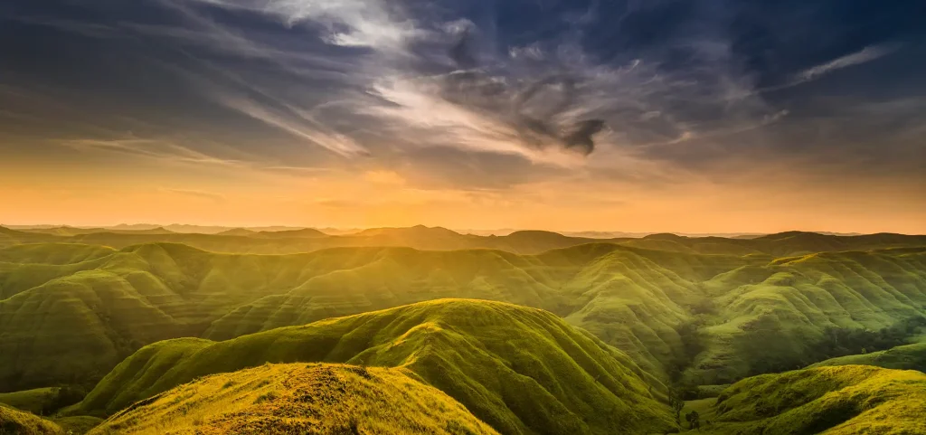
Wairinding Sunrise Viewpoint 2027: Timing the Light and the Horses on East Sumba’s Ridges
The Wairinding sunrise viewpoint is a run of grass ridges inland from Waingapu, about 1.5 to 2 hours by road, so catching first light means leaving…
Planning a Trip to Sumba?
Two trips across the island — shared on a fixed date, or private on yours.