
Road Conditions in Sumba 2027: Real Driving Times Between Every Major Sight
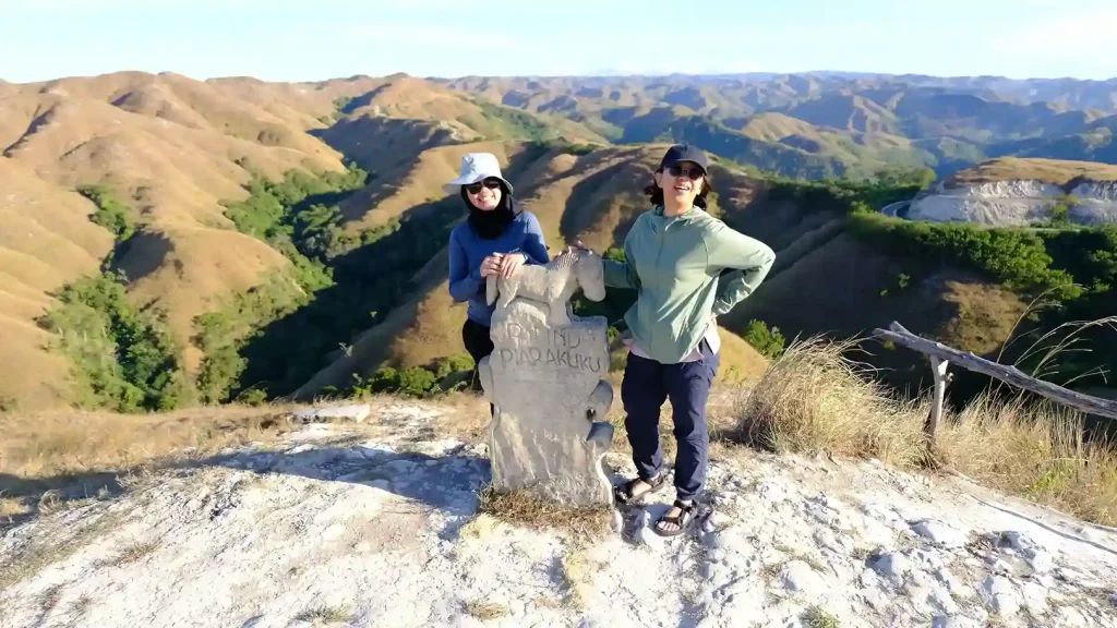
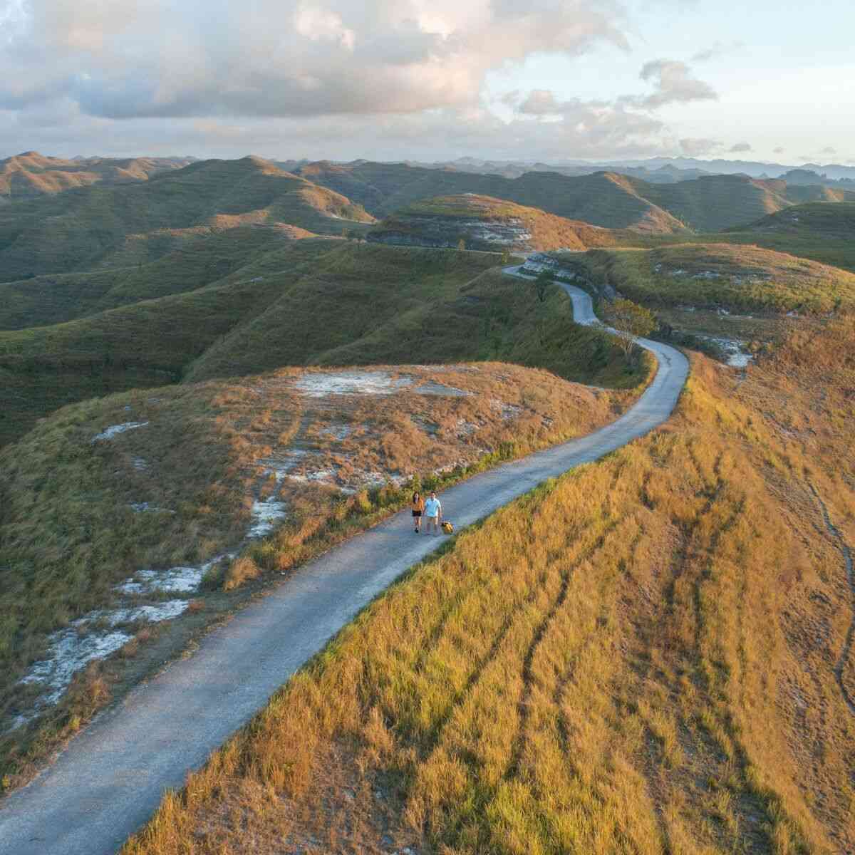
Road conditions in Sumba in 2027 are mostly paved but slow: narrow lanes with no shoulders, patchy asphalt, potholes, and unpaved rocky tracks to almost every waterfall. Plan on 40-60 km/h on main roads and 20-30 km/h on rough sections, which is why a map that says “45 km” can still mean two hours behind the wheel.
This is the table we build itineraries from at Sumba Horse. We publish it because the biggest cause of a disappointing Sumba trip is not the roads. It is an itinerary written by someone who has never driven them.
Road conditions in Sumba: the honest baseline
Sumba has two airports at opposite ends: Tambolaka (TMC) in the southwest and Waingapu (WGP) in the east. The trunk road between them is paved and scenic, but it is two lanes shared with trucks, motorbikes, dogs and free-grazing horses, and good asphalt alternates with broken surface where everyone slows to walking pace.
Off the trunk road it changes fast. The approaches to Lapopu, Matayangu, Tanggedu, Waimarang and several Kodi-coast beaches are unpaved, rocky or rutted: drivable in a high-clearance vehicle in the dry, and the part of the day that eats your schedule.
Driving times between every major sight in Sumba
Conservative baselines: pure driving time, one way, dry conditions, private vehicle with a local driver. Time at the site is excluded.
| Route | Region | Driving time (one way) | Notes |
|---|---|---|---|
| Tambolaka to Waikabubak | West | 1-1.5 hours | Paved |
| Tambolaka to Ratenggaro village | West (Kodi) | 2-2.5 hours | Narrow near coast |
| Ratenggaro to Weekuri Lagoon | West | 45-60 minutes | Coastal road |
| Weekuri Lagoon to Mandorak Beach | West | 10-20 minutes | Same pocket |
| Tambolaka to Praijing village | West | 1-1.5 hours | Near Waikabubak |
| Tambolaka to Lapopu Waterfall | West | 2 hours | Rough final segment |
| Lapopu to Matayangu Waterfall | West | 45-60 minutes | Rougher access |
| Tambolaka to Marosi / Kerewei / Bwana beaches | West | 2-3 hours | Road-state dependent |
| Waingapu to Prailiu weaving village | East | 15-30 minutes | Edge of town |
| Waingapu to Walakiri Beach | East | 30-45 minutes | Easiest sunset |
| Waingapu to Bukit Tanarara / Tenau | East | 1-1.5 hours | Savannah ridge |
| Waingapu to Bukit Wairinding | East | 1.5-2 hours | Short walk on site |
| Waingapu to Puru Kambera savannah and beach | East | 1.5-2 hours | Open grazing country |
| Puru Kambera to Tanggedu Waterfall | East | 1-1.5 hours | Plus 45-60 min trek each way |
| Waingapu to Tanggedu Waterfall (direct) | East | 2.5-3 hours | Plus same trek |
| Waingapu to Waimarang Waterfall | East | 2.5-3 hours | Plus hike |
| Waingapu to Rende village | East | 2+ hours | South-east coast |
| Tambolaka to Waingapu (cross-island) | Island crossing | 5-6 hours pure driving | 7-8 hour day with stops |
Add 30-60 minutes at every stop, before you add anything else
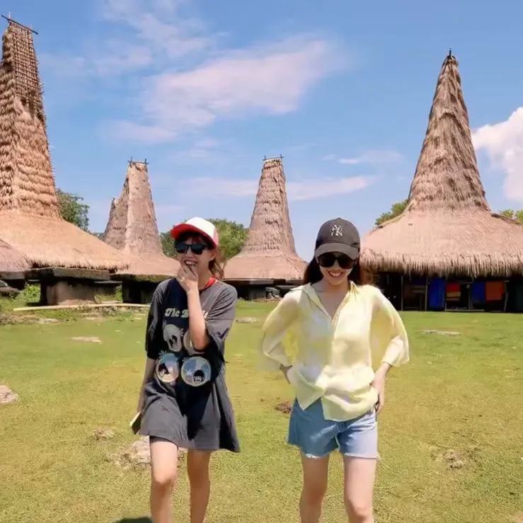
Driving time is half the equation. Every stop carries roughly 30-60 minutes of overhead unrelated to the sight itself: parking, the walk in, the entrance or donation formality, and getting everyone back in the vehicle. Traditional villages take longer, because a proper visit starts with a greeting and an explanation of the uma houses and stone tombs. Rushing that is rude and produces a shallow experience.
Waterfalls are their own category. Tanggedu adds a 45-60 minute trek each way on top of the drive, and we budget a further two to three hours at the water; Waimarang, Lapopu and Matayangu behave the same. Add it up honestly from Waingapu: 2.5-3 hours driving out, roughly an hour walking in, time at the falls, then the same walk and the same drive back. A Tanggedu day is an eight to ten hour day door to door, which is why it is the only major sight we put on that day.
Three ways travellers over-plan Sumba
The same three mistakes appear every season, all from reading a distance instead of a driving time.
Stacking two waterfalls in one day. Lapopu plus Matayangu looks compact because they share a national park, and it can be done, but adding a second waterfall to a Tanggedu or Waimarang day is not realistic. You finish on a rocky trail in the dark, which is the one thing we will not sign off on.
Stacking three hills in East Sumba. Wairinding, Tanarara and Tenau are all beautiful and all the same landscape: rolling savannah ridges. Three in an afternoon plus a Walakiri sunset gives you four rushed stops and photographs you cannot tell apart.
Treating the crossing day as a transfer. Tambolaka to Waingapu is 5-6 hours of driving before you stop for anything. Add three “quick” detours and the day passes ten hours. We give the crossing its own day: one meaningful stop in Central Sumba, nothing scheduled after arrival.
Self-drive, scooter rental and car rental in Sumba
Self-drive in Sumba is possible, but we do not recommend it for a first visit. Car rental in Sumba usually comes with a driver rather than bare, and that reflects local reality: signage is thin, several turnoffs are unmarked, mobile coverage drops out inland, and fuel is sparse outside the two hubs. Recovery from a breakdown on a rough track takes hours.
Scooter rental in Sumba and Sumba motorbike rental are easy to arrange around Tambolaka and Waingapu, and a bike is pleasant for short local runs. Over full-day distances, on loose gravel, with luggage and in heat, it is not. Is it safe to drive in Sumba? In daylight, on paved roads, at moderate speed, yes. After dark it is a different island: unlit roads, no shoulders, livestock asleep on warm asphalt.
Public transport exists as bemo and shared minibuses between the main towns, but it does not reach the hills, waterfalls and coastal villages people come for. The standard Sumba island transport option is a private vehicle with a driver-guide, which is what our Sumba ground operator services provide.
What changes when it rains
The wet season runs roughly November to April, with the savannah greenest from December to March. That is the most photogenic Sumba and also the slowest: access roads soften, river crossings run higher, clay turns slippery, and a 45-minute trek becomes an hour. The dry season, roughly May to October and most reliably June to September, gives firm roads and predictable timings, with golden grass and lower waterfall flow.
In the wet season we cut one stop per day rather than lengthen the day, and hold a weather alternative for every waterfall. Nothing in the table above becomes impossible in the rain. We simply plan wet-season days with an allowance of roughly 20-30 percent more time than the dry-season figures, because pretending otherwise is how a day ends badly.
How we build a Sumba day: two major sights, one short stop
Our rule is simple: a maximum of two major sights per day plus one short stop, and every crossing or long-transfer day labelled a heavy driving day in the written itinerary before you book.
Our Private Trip Sumba 4D3N covers one side of the island or a disciplined west-to-east highlight route, and four days is its honest ceiling. The Private Trip Sumba 6D5N is where the island stops feeling like a race: two nights southwest, three east, and room to absorb a rain delay without deleting a waterfall. Both follow the itinerary published by our group at IndonesiaJuara, which holds the TripAdvisor Travellers’ Choice Award for three consecutive years: 2023, 2024 and 2025.
Rates start from USD 700 per person (indicative) on the 4D3N at larger group sizes, including private vehicle, driver-guide, fuel, parking, entrances and village donations, drinking water and airport coordination. Per-person cost rises again at five and nine guests, because a second vehicle is required at those thresholds, which makes groups of four and eight the sweet spots. Accommodation tier, flights and personal expenses are quoted separately. Final rates are confirmed per date, group size and accommodation tier, so confirm current rates with us before you plan a budget around them.
Frequently Asked Questions
What are road conditions in Sumba like in 2027?
Mostly paved main roads with narrow lanes, no shoulders, patchy asphalt and potholes, plus unpaved rocky tracks to most waterfalls. Expect 40-60 km/h on trunk roads and 20-30 km/h on rough sections, slower again in the wet season.
How long does it take to drive from Tambolaka to Waingapu?
Five to six hours of pure driving, which becomes a seven to eight hour day once you add lunch and one or two scenic stops. Treat the crossing as a full day, not a transfer squeezed around sightseeing.
Is it safe to drive in Sumba yourself?
It is reasonably safe in daylight on paved roads at moderate speed, but we do not recommend self-drive in Sumba for first-time visitors. Unmarked turnoffs, patchy coverage, sparse fuel and unlit roads after dark are the real risks.
Is there public transport in Sumba?
Yes, bemo and shared minibuses connect the main towns, but they do not reach the hills, waterfalls and coastal villages most visitors want, and they follow no schedule you can plan around.
Can I rent a scooter or a car in Sumba?
Scooter and motorbike rental is easy in Tambolaka and Waingapu and works well for short local runs. Car rental in Sumba normally comes with a driver, which is the right arrangement for full-day distances on mixed surfaces.
How much does a Sumba tour cost per day?
Roughly USD 175 to USD 330 per person per day on our indicative 4D3N rates, depending on group size: the lower end at eight guests, the higher end for two people travelling as a pair. That covers the private vehicle, driver-guide, fuel, entrances, village donations and drinking water. Final quotes are confirmed per date, group size and accommodation tier.
Plan your Sumba days with people who drive them
Send us your flight dates and the sights you have in mind. We will send back a day-by-day plan with real driving times written in, heavy driving days labelled, and a rain alternative for every waterfall. If your list is too long for the days you have, we will tell you which two to cut and why.
WhatsApp: wa.me/6281139414563 | Email: [email protected]
Keep Reading
Best Luxury Cruise Indonesia After Sumba: 2026 Guide
After a week among Sumba’s sandalwood horses, megalith villages and waterfall pools, the natural next leg is the sea. The best luxury cruise in Indonesia for…
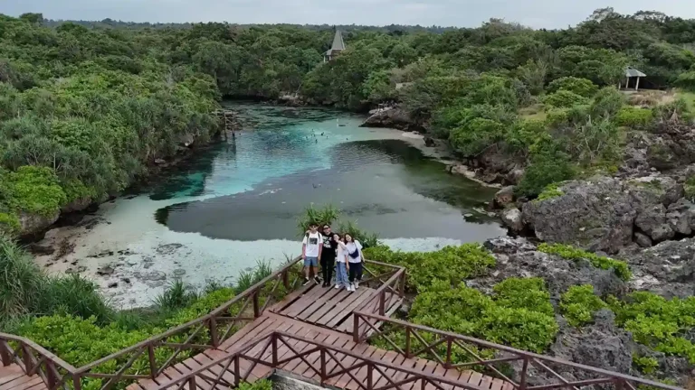
Weekuri Lagoon Sumba 2027: A Kodi Coast Day Plan With Mandorak and Ratenggaro
Weekuri Lagoon sits on the Kodi coast of Southwest Sumba, about 2 to 2.5 hours by road from Tambolaka Airport, and the sensible way to see…
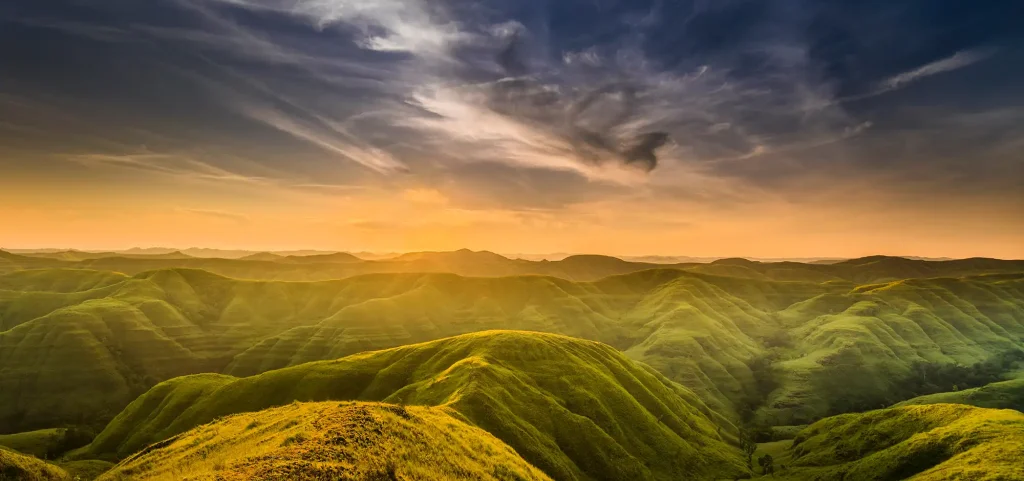
Wairinding Sunrise Viewpoint 2027: Timing the Light and the Horses on East Sumba’s Ridges
The Wairinding sunrise viewpoint is a run of grass ridges inland from Waingapu, about 1.5 to 2 hours by road, so catching first light means leaving…
Planning a Trip to Sumba?
Two trips across the island — shared on a fixed date, or private on yours.